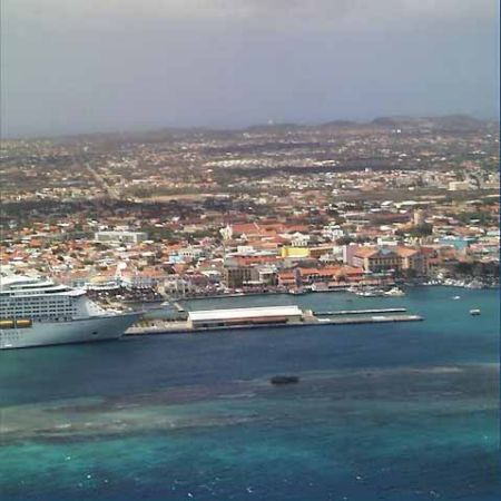
Queen Beatrix International Airport (AUA)

Weitere Informationen über airport - Queen Beatrix International Airport, Aruba Florin

Beschreibung Wert
IATA
(IATA-Flughafencode)
AUA
Typ Mittlerer Flughafen
Flughafencode -
GPS-Airport-code TNCA
Längengrad 12.5013999938965
Breitengrad -70.0151977539062

Städte in der Nähe Queen Beatrix International Airport, Aruba Florin

Stadt, Land Entfernung (km)
Oranjestad 2.71 km

Bilder in der Nähe Queen Beatrix International Airport, Aruba Florin

Honeymoon Sunset, Island of Aruba, Caribbean Sea, 1994 Aruba, Eagle Beach, Fofoti Tree "Hasta pronto Aruba" Wind and waves pounding the rocky NE coast ¡Aguas cristalinas en el arrecife! Aruba.
 
Entre corales. Aruba.  La Iglesia de Santa Ana . Tallados a mano en el altar de roble. Aruba. Offroading on the NE side of the island The Westin Aruba Resort Alto Vista Chapel, Aruba
 
Beach at Bucuti Beach Resort "En el fondo del mar" Aruba. Aruba Ayo Rock Formation Aeropuerto Reina Beatrix. Aruba.
 
中美洲阿魯巴小屋 Aruba, Wishing Rock Piles Offroading on the NE side of the island Oranjestad Aruba, viewed from a cruise ship Cactus on Hooiberg
 

Bilder von Queen Beatrix International Airport