Abstand zwischen Willemstad und Levanto
Entfernungsinformationen Willemstad, Niederländische Antillen-Levanto
Geografische Entfernung von Willemstad nach Levanto 8165.37 Kilometer
5070.47 Meilen
4408.75 nautische Meilen
Straße Abstand zwischen Willemstad und Levanto
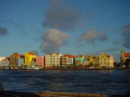
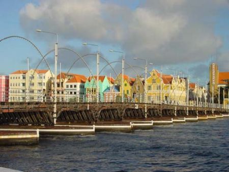
Entfernung auf der Karte von Willemstad, Niederländische Antillen, Levanto
Nächste Entfernungen von Willemstad, Niederländische Antillen
| Stadt | Distanz |
| Coro | 113.33 km |
| Oranjestad | 127.95 km |
| Caracas | 286.38 km |
| Maracaibo | 337.39 km |
| Barranquilla | 652.82 km |
| Santo Domingo | 716.82 km |
| Cartagena | 741.08 km |
| San Juan | 768.99 km |
| Saint George`s | 781.3 km |
| Port-au-Prince | 803.12 km |
| Charlotte Amalie | 815.41 km |
| Cruz Bay | 822.11 km |
| Port-of-Spain | 827.28 km |
| Kingstown | 844.54 km |
| San Felipe de Puerto Plata | 874.45 km |
| Basseterre | 883.01 km |
| Castries | 884.82 km |
| Roseau | 889.45 km |
| Basse-Terre | 889.55 km |
| Plymouth | 892.07 km |
| Gros Islet | 892.39 km |
| Bouillante | 892.61 km |
| Fort-de-France | 893.88 km |
| Rosali | 904.58 km |
| Saint-Martin | 918.67 km |
| Valley | 926.47 km |
| Saint John`s | 944.34 km |
| Medellín | 977.96 km |
| Bogota | 1005.96 km |
| Bridgetown | 1018.57 km |
Wählen Sie Stadt, Entfernung von Willemstad, Niederländische Antillen zu berechnen
Entfernungen von Levanto zu überprüfen
| Stadt | Distanz |
| Monterosso al Mare | 4.34 km |
| Manarola | 12.4 km |
| Riomaggiore | 12.91 km |
| La Spezia | 18.49 km |
| Carrara | 40.27 km |
| Massa | 44.88 km |
| Corniglia | 50.95 km |
| Genua | 59.19 km |
| Viareggio | 61.32 km |
| Lucca | 79.45 km |