Abstand zwischen Porthcawl - Wales und Galway
Entfernungsinformationen Porthcawl - Wales, Großbritanien (Vereinigtes Königreich)-Galway
Geografische Entfernung von Porthcawl - Wales nach Galway 414.62 Kilometer
257.09 Meilen
223.54 nautische Meilen
Straße Abstand zwischen Porthcawl - Wales und Galway
Entfernung auf der Karte von Porthcawl - Wales, Großbritanien (Vereinigtes Königreich), Galway
Nächste Entfernungen von Porthcawl - Wales, Großbritanien (Vereinigtes Königreich)
| Stadt | Distanz |
| Bridgend | 8.98 km |
| Maesteg - Wales | 14.6 km |
| Weston-super-Mare | 52.53 km |
| Bristol | 77.36 km |
| Keynsham | 83.89 km |
| Chipping Sodbury | 90.44 km |
| Bath | 93.99 km |
| Nailsworth | 105.19 km |
| Shaftesbury | 117.58 km |
| Cheltenham | 121.27 km |
| Plymouth | 125.72 km |
| Sandwell | 164.95 km |
| Birmingham | 166.74 km |
| Coventry | 182.14 km |
| Milton Keynes | 214.18 km |
| Leicester | 217.75 km |
| Liverpool | 220.12 km |
| Derby | 220.77 km |
| Wicklow | 230.59 km |
| Nottingham | 238.67 km |
| Saint Peter Port | 239.54 km |
| Manchester | 243.38 km |
| London | 247.84 km |
| Bolton | 248.76 km |
| Waterford | 248.89 km |
| Brighton | 258.99 km |
| Sheffield | 260.43 km |
| Dublin | 270.57 km |
| Tunbridge Wells | 278.42 km |
| Saint Helier | 279.66 km |
Wählen Sie Stadt, Entfernung von Porthcawl - Wales, Großbritanien (Vereinigtes Königreich) zu berechnen
Entfernungen von Galway zu überprüfen
| Stadt | Distanz |
| Killarney | 138.4 km |
| Cork | 158.23 km |
| Waterford | 173.76 km |
| Dublin | 185.76 km |
| Wicklow | 203.93 km |
| Belfast | 252.25 km |
| Liverpool | 403.7 km |
| Maesteg - Wales | 410.07 km |
| Porthcawl - Wales | 414.62 km |
| Keswick, Cumbria | 414.87 km |
Informationsmaterial - Porthcawl - Wales
Informationsmaterial - Großbritanien (Vereinigtes Königreich)
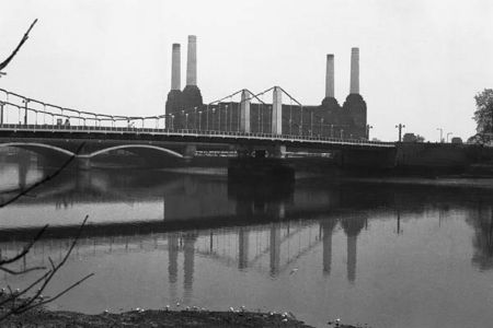
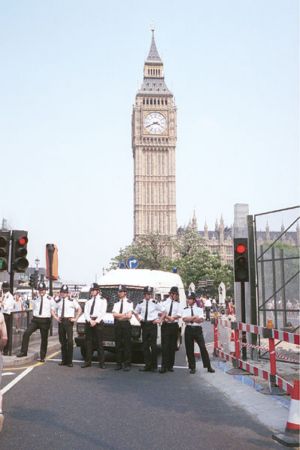
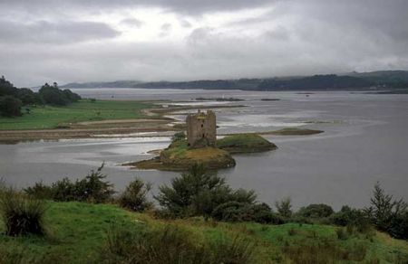
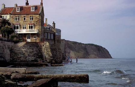
Fotogalerie
Großbritanien (Vereinigtes Königreich), Porthcawl - Wales