Pohakuloa Training Area

Weitere Informationen über airport - Pohakuloa Training Area, Vereinigte Staaten von Amerika (USA)

Beschreibung Wert
IATA
(IATA-Flughafencode)
Kein IATA-code
Typ Kleiner Flughafen
Flughafencode -
GPS-Airport-code
Längengrad 19.7266753478
Breitengrad -155.524542332

Städte in der Nähe Pohakuloa Training Area, Vereinigte Staaten von Amerika (USA)

Stadt, Land Entfernung (km)
Hilo, HI 45.72 km

Bilder in der Nähe Pohakuloa Training Area, Vereinigte Staaten von Amerika (USA)
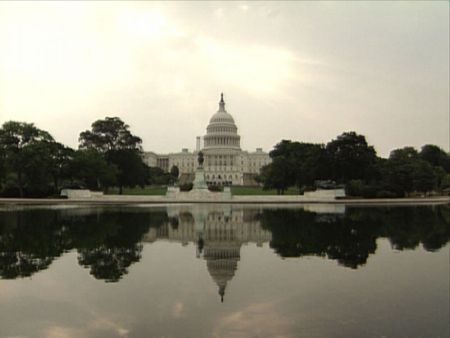
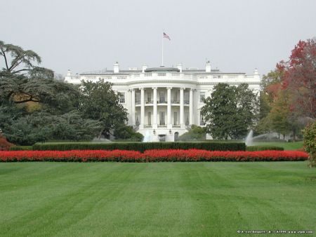
Old lava flow from Mauna Loa with Mauna Kea in the distance to the north Mauna Kea from Western Slopes of Mauna Loa Coming down from Mouna Kea Mauna Kea Observatory Road below 10,000 Feet Mauna Kea with Telescopes / Big Island / Hawaii
 
Mauna Kea 2012-04-29 Two Crosses near Observatory Road on Mauna Loa. 2012-04-29 R1 4x4 road encircling Mauna Kea - This picture looks almost idyllic, but we spent most of the trip in fine mist and rain and yet were covered with dust. Moon Crater on Earth Above the clouds at the Mauna Kea visitors center at dusk
 
Flowers at Mauna Kea Mauna Kea cinder cones Mauna Kea 01 South slope Mauna Kea
 
South slope Mauna Kea MAUNA LOA, on mauna kea Mauna Kea, from the plane MAUNA LOA, on mauna kea MAUNA LOA, on mauna kea
 

Bilder von Pohakuloa Training Area