Tanner Field
Weitere Informationen über airport - Tanner Field, Vereinigte Staaten von Amerika (USA)
|
Bilder in der Nähe Tanner Field, Vereinigte Staaten von Amerika (USA)


Informationsmaterial - Washington, DC
Informationsmaterial - Vereinigte Staaten von Amerika (USA)
Fotogalerie
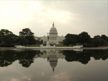
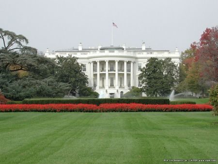
Vereinigte Staaten von Amerika (USA), Washington, DC