Van Dyke Strip

Weitere Informationen über airport - Van Dyke Strip, Vereinigte Staaten von Amerika (USA)

Beschreibung Wert
IATA
(IATA-Flughafencode)
Kein IATA-code
Typ Kleiner Flughafen
Flughafencode 25CL
GPS-Airport-code 25CL
Längengrad 38.8666000366211
Breitengrad -121.484001159668

Städte in der Nähe Van Dyke Strip, Vereinigte Staaten von Amerika (USA)

Stadt, Land Entfernung (km)
Sacramento, CA 33.33 km

Bilder in der Nähe Van Dyke Strip, Vereinigte Staaten von Amerika (USA)
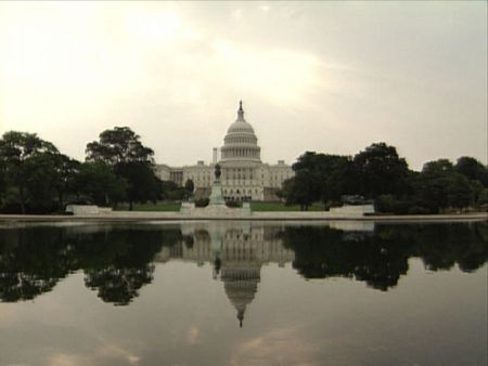
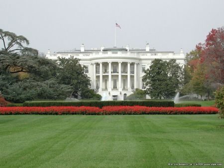
Rice Country Near Sacramento
 
Near Sacramento Looking downstream, south-south-westerly, at Auburn Ravine from the Pleasant Grove Rd. bridge. Pleasant Grove, California Looking east-north-east across the East Canal, off Pacific Ave., about 1/2 mile south of its intersection with Striplin Rd. Nicolaus / Pleasant Grove, California Looking north-easterly, upstream, at Auburn Ravine from the S. Brewer Rd. bridge. Pleasant Grove, California Sunrise on April Fools Day
 
Open Field Lost City seek of modernity Pleasant Grove Odd Fellows Lodge #269 Noon
 
trowbridge Stamped Concrete Commercial Pool Sacramento Setting sun below Olivehurst
 

Bilder von Van Dyke Strip