Abstand zwischen Charlotte Amalie und Levanto
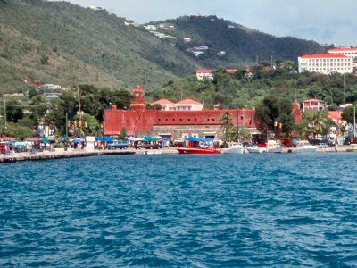
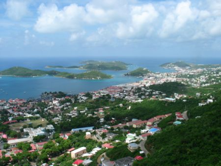
Entfernungsinformationen Charlotte Amalie, Jungferninseln (USA)-Levanto
Geografische Entfernung von Charlotte Amalie nach Levanto 7382.85 Kilometer
4584.22 Meilen
3985.96 nautische Meilen
Straße Abstand zwischen Charlotte Amalie und Levanto
Entfernung auf der Karte von Charlotte Amalie, Jungferninseln (USA), Levanto
Nächste Entfernungen von Charlotte Amalie, Jungferninseln (USA)
| Stadt | Distanz |
| Cruz Bay | 15.51 km |
| San Juan | 124.75 km |
| Valley | 198.99 km |
| Saint-Martin | 202.27 km |
| Basseterre | 262.29 km |
| Plymouth | 337.45 km |
| Saint John`s | 355 km |
| Bouillante | 418.18 km |
| Basse-Terre | 429.86 km |
| Roseau | 507.82 km |
| Rosali | 512.35 km |
| Santo Domingo | 525.36 km |
| Fort-de-France | 585.76 km |
| San Felipe de Puerto Plata | 625.27 km |
| Gros Islet | 637.43 km |
| Castries | 641.14 km |
| Kingstown | 700.93 km |
| Cockburn Town auf Grand Turk | 735.41 km |
| Saint George`s | 779 km |
| Port-au-Prince | 781.09 km |
| Willemstad | 815.41 km |
| Bridgetown | 816.69 km |
| Oranjestad | 847.01 km |
| Providenciales | 853.18 km |
| Caracas | 899.3 km |
| Coro | 925.52 km |
| Port-of-Spain | 932.24 km |
| Maracaibo | 1120.16 km |
| Kingston | 1253.95 km |
| Barranquilla | 1341.31 km |
Wählen Sie Stadt, Entfernung von Charlotte Amalie, Jungferninseln (USA) zu berechnen
Entfernungen von Levanto zu überprüfen
| Stadt | Distanz |
| Monterosso al Mare | 4.34 km |
| Manarola | 12.4 km |
| Riomaggiore | 12.91 km |
| La Spezia | 18.49 km |
| Carrara | 40.27 km |
| Massa | 44.88 km |
| Corniglia | 50.95 km |
| Genua | 59.19 km |
| Viareggio | 61.32 km |
| Lucca | 79.45 km |