Abstand zwischen Victoria und Mexico-Stadt, D.f.
- Kanada
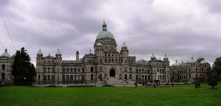
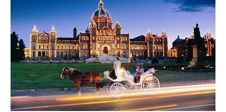
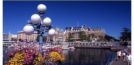
- Victoria
- Entfernungen Victoria
Entfernungsinformationen Victoria, Kanada-Mexico-Stadt, D.f.
Geografische Entfernung von Victoria nach Mexico-Stadt, D.f. 3890.43 Kilometer
2415.69 Meilen
2100.43 nautische Meilen
Straße Abstand zwischen Victoria und Mexico-Stadt, D.f.
Entfernung auf der Karte von Victoria, Kanada, Mexico-Stadt, D.f.
Nächste Entfernungen von Victoria, Kanada
| Stadt |
Distanz |
| White Rock |
77.37 km |
| Nanaimo |
91.41 km |
| Vancouver |
93.37 km |
| Everett |
99.69 km |
| Abbotsford |
102.82 km |
| Seattle, WA |
119.33 km |
| Mount Baker, WA |
121.64 km |
| Chilliwack |
131.23 km |
| Olympia, WA |
159.81 km |
| Wentatchee, WA |
254.57 km |
| Ellensburg, WA |
264.85 km |
| Yakima, WA |
296.1 km |
| Kelowna |
325.18 km |
| Portland, OR |
327.96 km |
| Portland |
328.16 km |
| Kamloops |
331.58 km |
| Kennewick, WA |
404.01 km |
| Spokane, WA |
451.86 km |
| Walla Walla, WA |
461.66 km |
| Spokane Valley, WA |
463.26 km |
| Prince George |
611.05 km |
| Missoula, MO |
720.59 km |
| Calgary |
729.12 km |
| Nampa, MO |
752.44 km |
| Meridian, ID |
760.21 km |
| Boise, ID |
769.51 km |
| Lethbridge |
780.02 km |
| Sandspit |
798.13 km |
| Red Deer |
800.15 km |
| Grande Prairie |
811.58 km |
Wählen Sie Stadt, Entfernung von Victoria, Kanada zu berechnen
Entfernungen von Mexico-Stadt, D.f. zu überprüfen